Honest, no-nonsense guidance for Yr Wyddfa — the routes, the conditions, and what to really expect. Written by someone who’s walked every path in all kinds of weather, not copied from a guidebook
Clear breakdowns of the main paths up Snowdon: distance, ascent, and where people usually come unstuck.
Printable route maps you can carry on your phone. Every path marked and measured, ready the moment you buy.
Gear built from real days on Yr Wyddfa. Comfortable, durable, and made to remind you why you went up.
Not sure which path suits you? Start with the map.
Download a route map for your next climb, or pick up the gear that goes with it.
Printable route maps for Britain’s best-known peaks. Every path marked and measured, with distance, ascent, timing and an elevation profile. Buy once, download instantly.
Caps, beanies, tees, hoodies, jackets and accessories carrying the Snowdonwalker badge. Gear to wear on the mountain and off it.
Six paths lead to the summit of Yr Wyddfa. These are the three most walked — pick the one that fits your day, your fitness, and the weather.
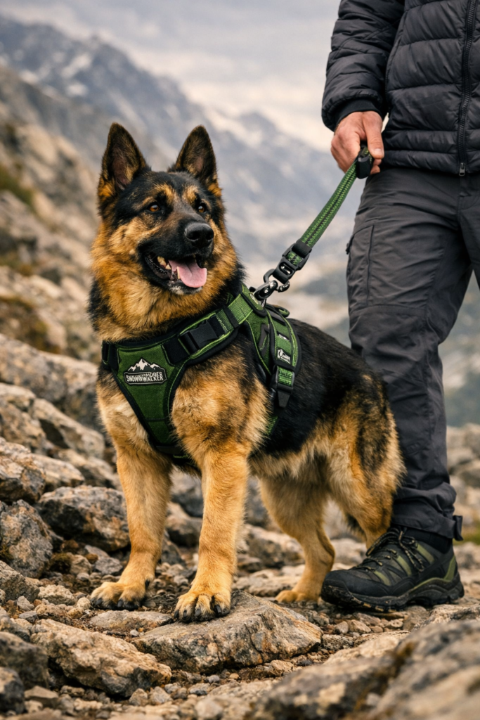
The longest but most gradual way up. ~9 miles return · ~975m ascent · 5–7 hrs · Moderate.
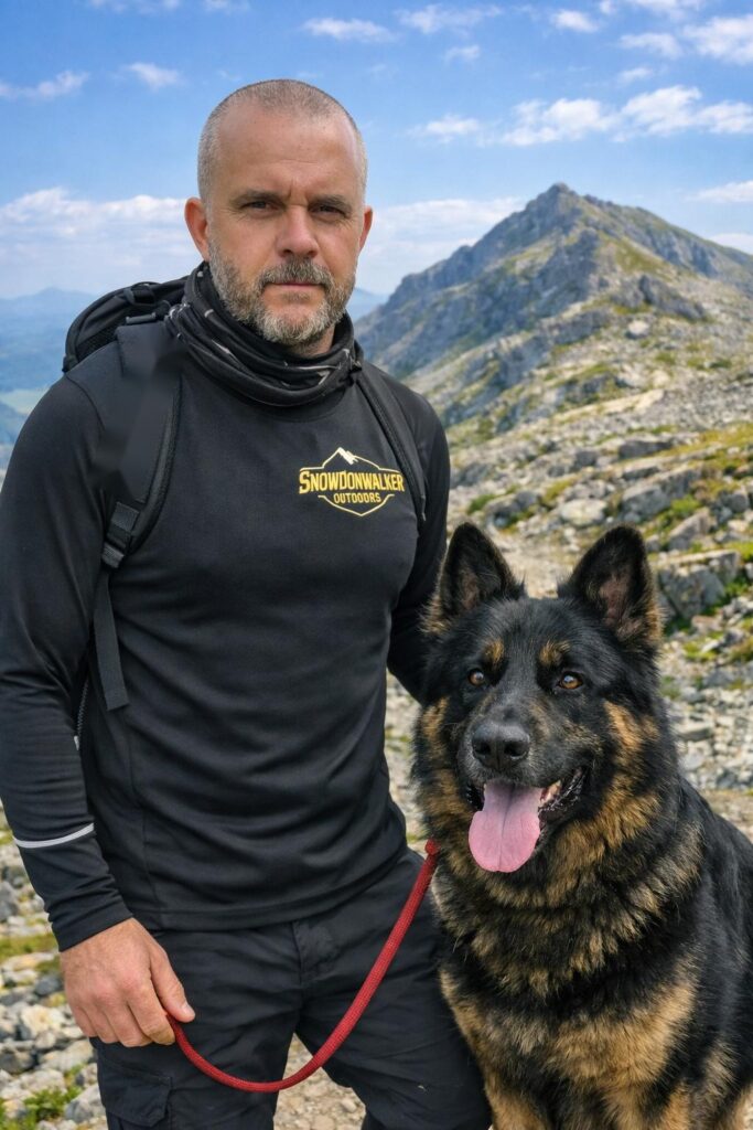
Shorter, steeper, and dramatic from the off. ~7 miles return · ~720m ascent · 5–6 hrs · Hard.
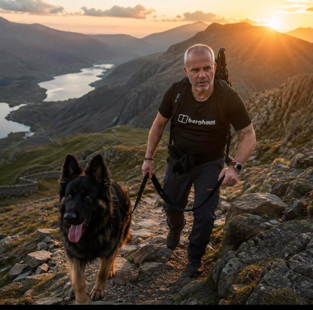
The toughest and most scenic, climbing from near sea level. ~8 miles return · ~1,015m ascent · 6–8 hrs · Very hard.
Snowdonwalker Outdoors was created from the time I’ve spent on this mountain — the early starts, the cold winds, and the quiet moments that helped me through some difficult patches. Every time I’ve gone up, I’ve come back down feeling clearer, stronger, and more grounded. This site is built from those days, to pass that feeling on.
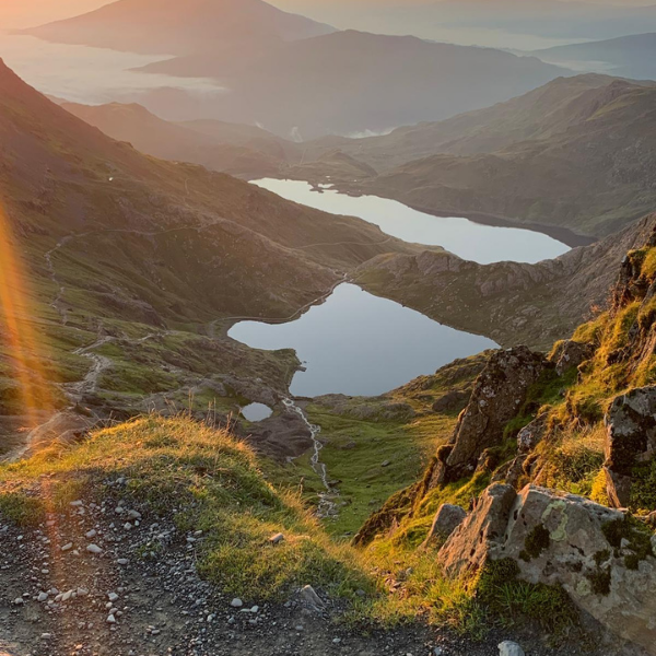
The first digital edition of the SnowdonWalker Outdoors guide. All six principal paths up Yr Wyddfa, with a route map and elevation profile for each, plus kit, weather, navigation and safety advice. 30 pages, instant PDF download.
Everything here comes from real days on Yr Wyddfa — the guidance, the map, and the gear.
Every route write-up comes from paths I've actually climbed, not lifted from a guidebook.
Straight guidance on distance, difficulty, and conditions. No filler, no hype.
Detailed maps covering every path, ready to print or carry on your phone.
Apparel built to hold up on the mountain and mean something off it.
Clear, printable route maps for Britain’s best-known peaks. Every path marked and measured, with distance, ascent, timing, and an elevation profile. Buy once, download instantly.
Real words from walkers who have used the maps and walked the routes.

Every path, marked and measured — print it or carry it on your phone. Plan your climb before you set foot on the mountain.
The route notes were spot on — knew exactly what I was walking into, weather and all. Made my first Snowdon climb far less daunting.