About This Route
About This Guide
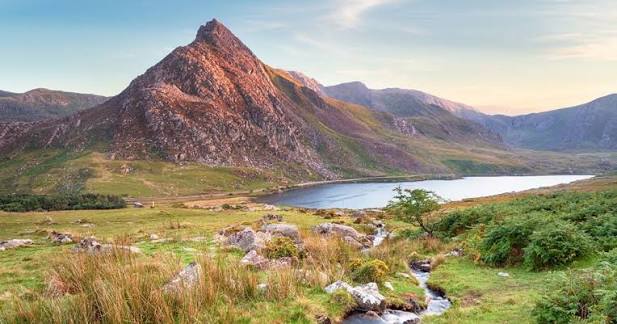
Tryfan is one of Snowdonia’s most striking peaks. This route follows the Miners’ Track from the Ogwen Valley, ascends to the base of the Glyderau, traverses the ridge past Bristly Ridge, then climbs to the summit of Tryfan and returns the same way.
Distance: 11.0 km / 6.8 miles.
Ascent: 920 m / 3,018 ft.
Time: 5 to 7 hours.
Difficulty: Strenuous.
Start and finish: Ogwen Valley car park (78 m).
Note: this is the Glyderau approach, not the North Ridge scramble. Steep, rocky ground in places. Confidence on uneven terrain is recommended.
What you get:
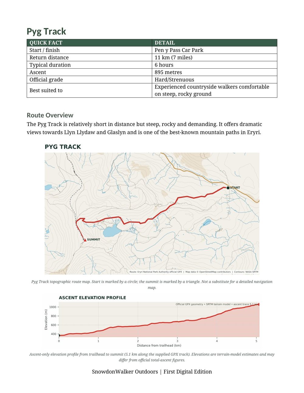
A detailed topographic route map with the path clearly marked, contour lines, viewpoints, parking, and a numbered route overview. An elevation profile shows the climb ahead so you know exactly what to expect. Print it for the day or carry it on your phone.
In the download:
One high-resolution PNG file. Print it for the day or keep it on your phone. Plan, prepare, explore.
Route
Guide