About This Route
About This Guide
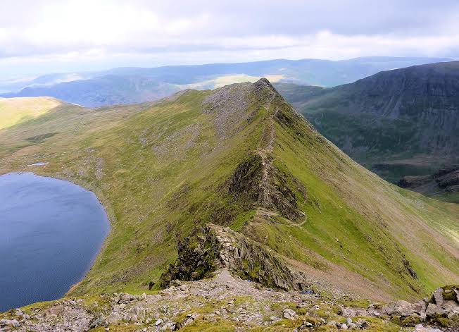
Helvellyn via Striding Edge is one of the most famous ridge walks in the Lake District. Ascend via Striding Edge for an exhilarating ridge, then descend via Swirral Edge with stunning views over Glenridding.
Distance: 13.0 km / 8.1 miles.
Ascent: 950 m / 3,117 ft.
Time: 6 to 8 hours.
Difficulty: Strenuous.
Start and finish: Glenridding (60 m).
Note: Striding Edge is an exposed scramble. A head for heights and settled conditions are strongly recommended.
What you get:
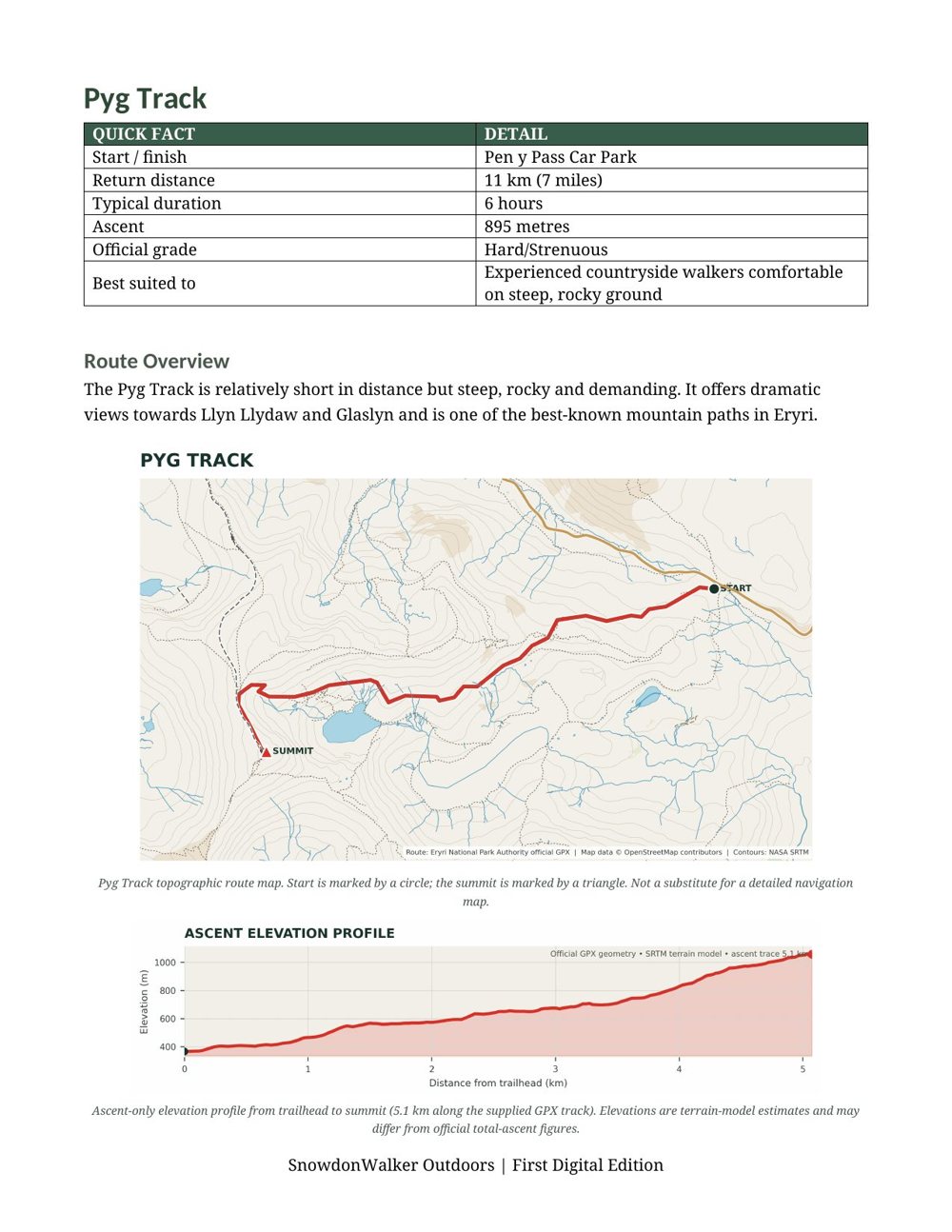
A detailed topographic route map with the path clearly marked, contour lines, viewpoints, parking, and a numbered route overview. An elevation profile shows the climb ahead so you know exactly what to expect. Print it for the day or carry it on your phone.
In the download:
One high-resolution PNG file. Print it for the day or keep it on your phone. Plan, prepare, explore.
Route
Guide